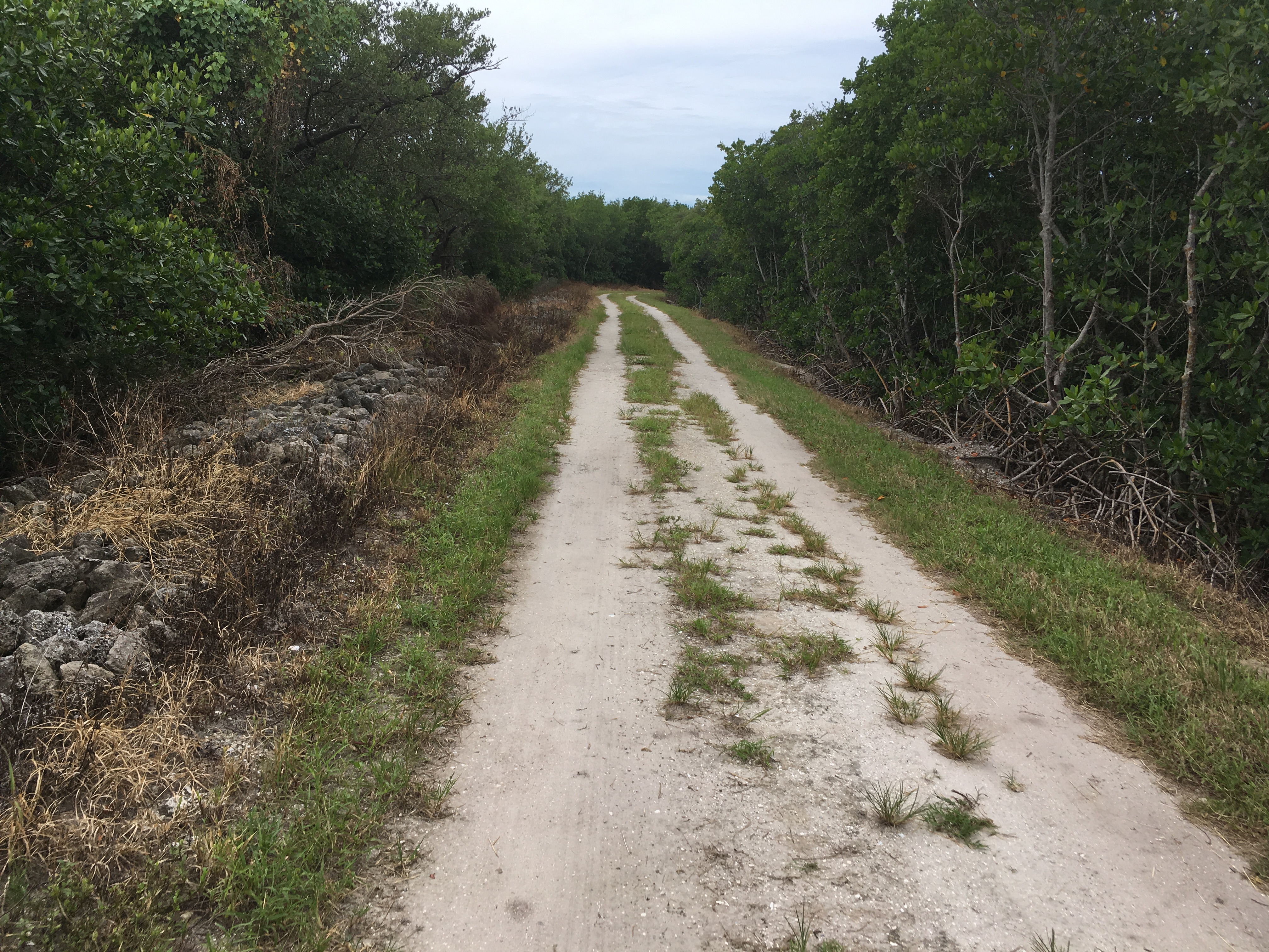
The ride through the mangrove trails is on hard-packed sand
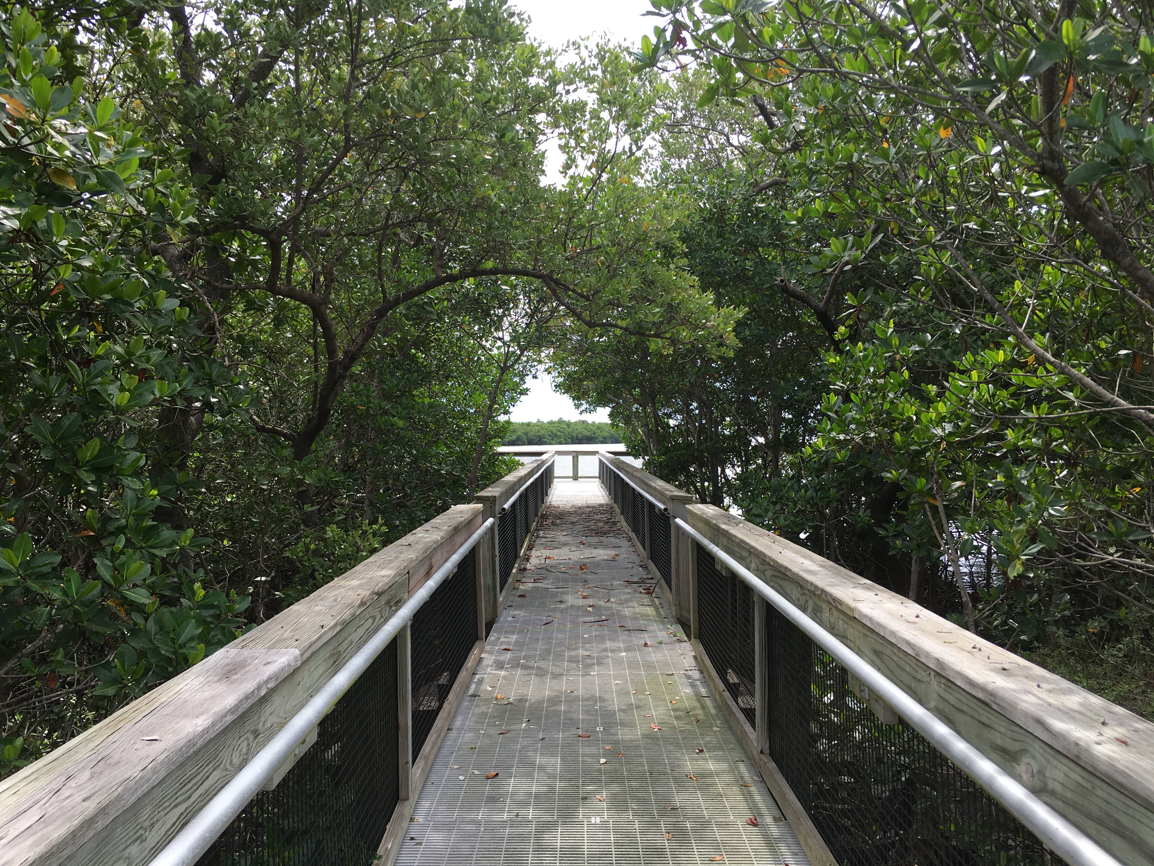
The trails feature a series of catwalks that provide good views of the lagoon
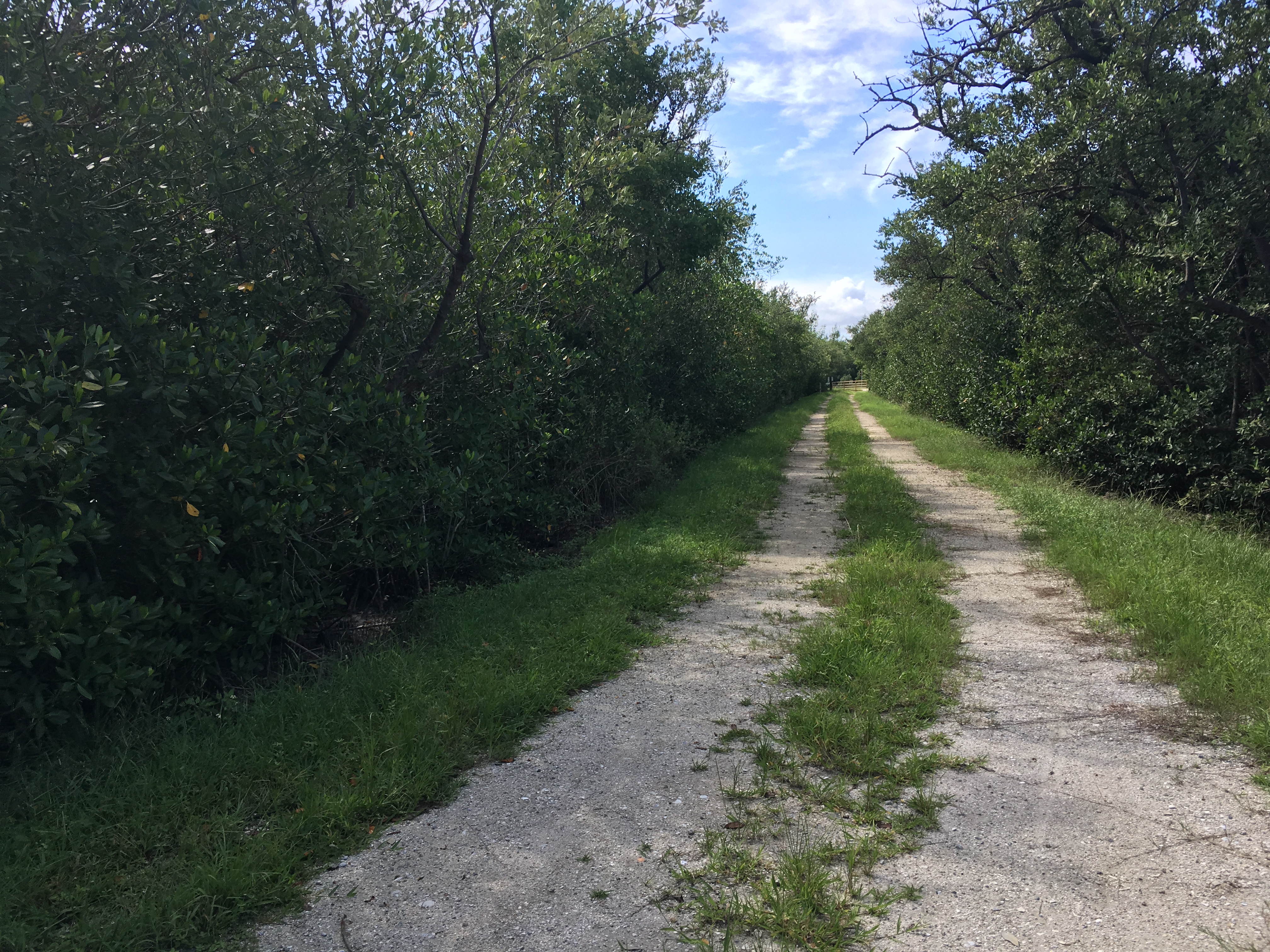
Some trails have a heavier consistency of marl and are easier to ride
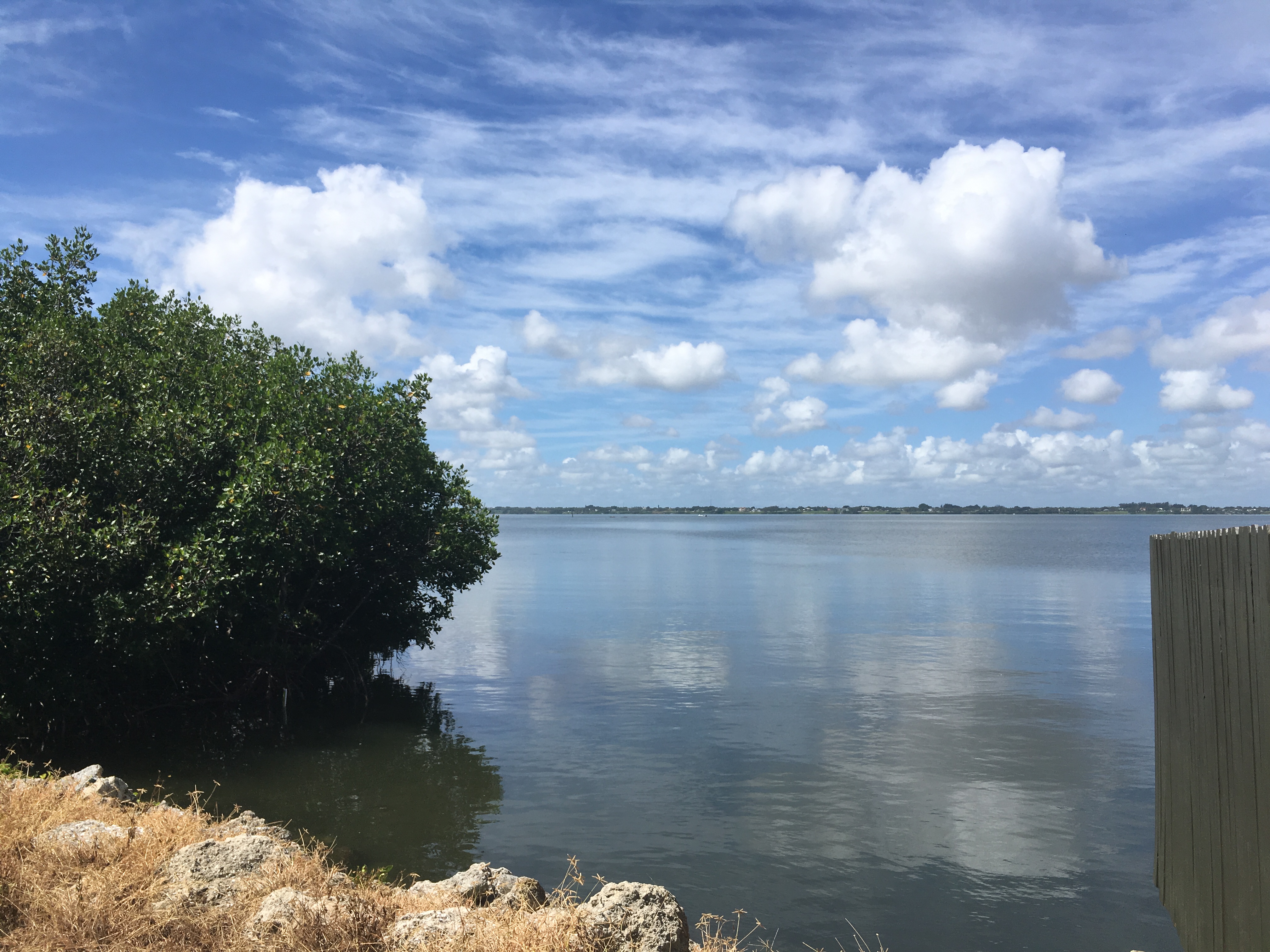
You'll also take in big views of the lagoon such as this one
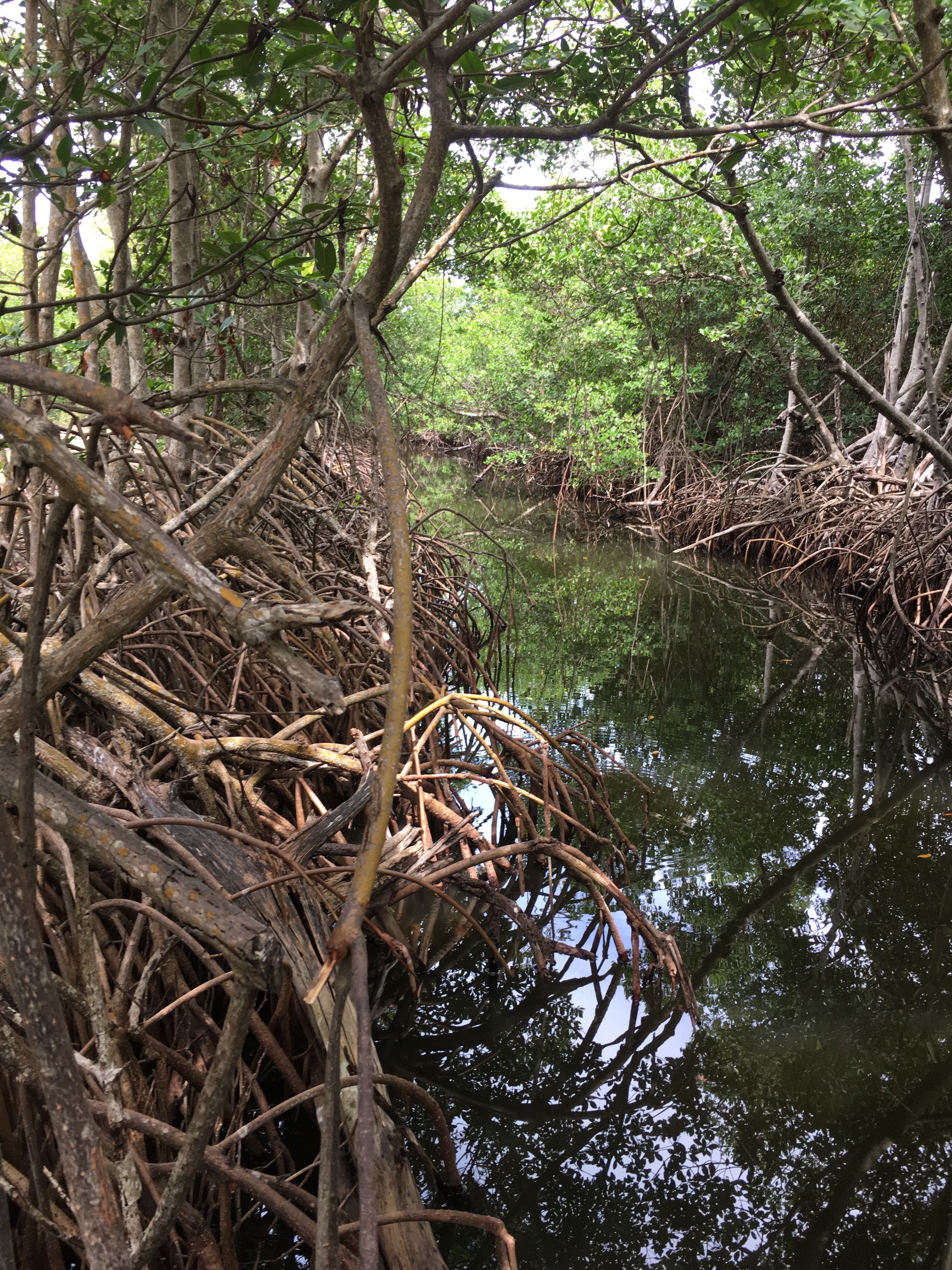
You'll see mangrove habitat that serves as an estuary for much of the lagoon
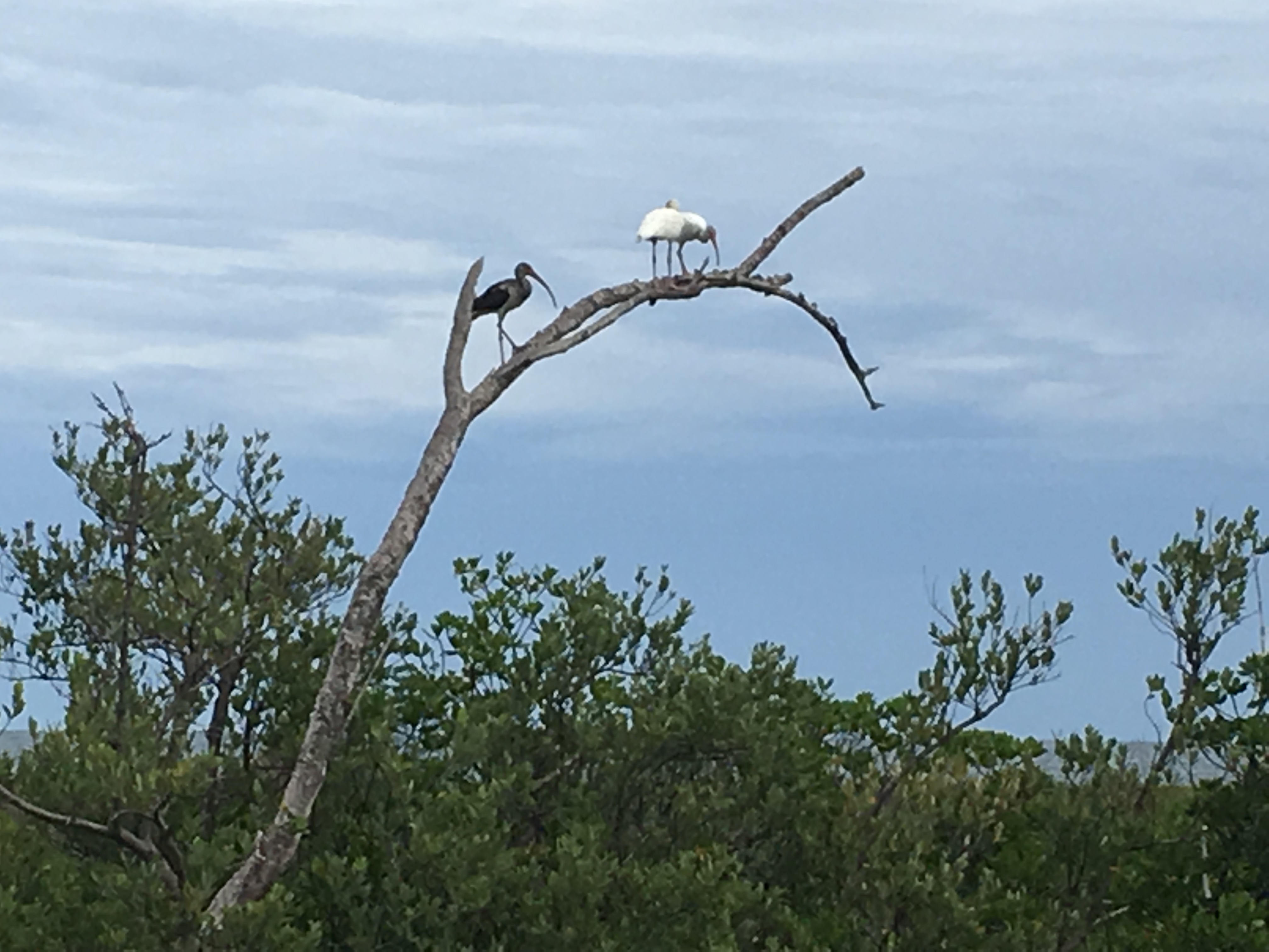
Ibis are just some of the birds you will see on the ride.
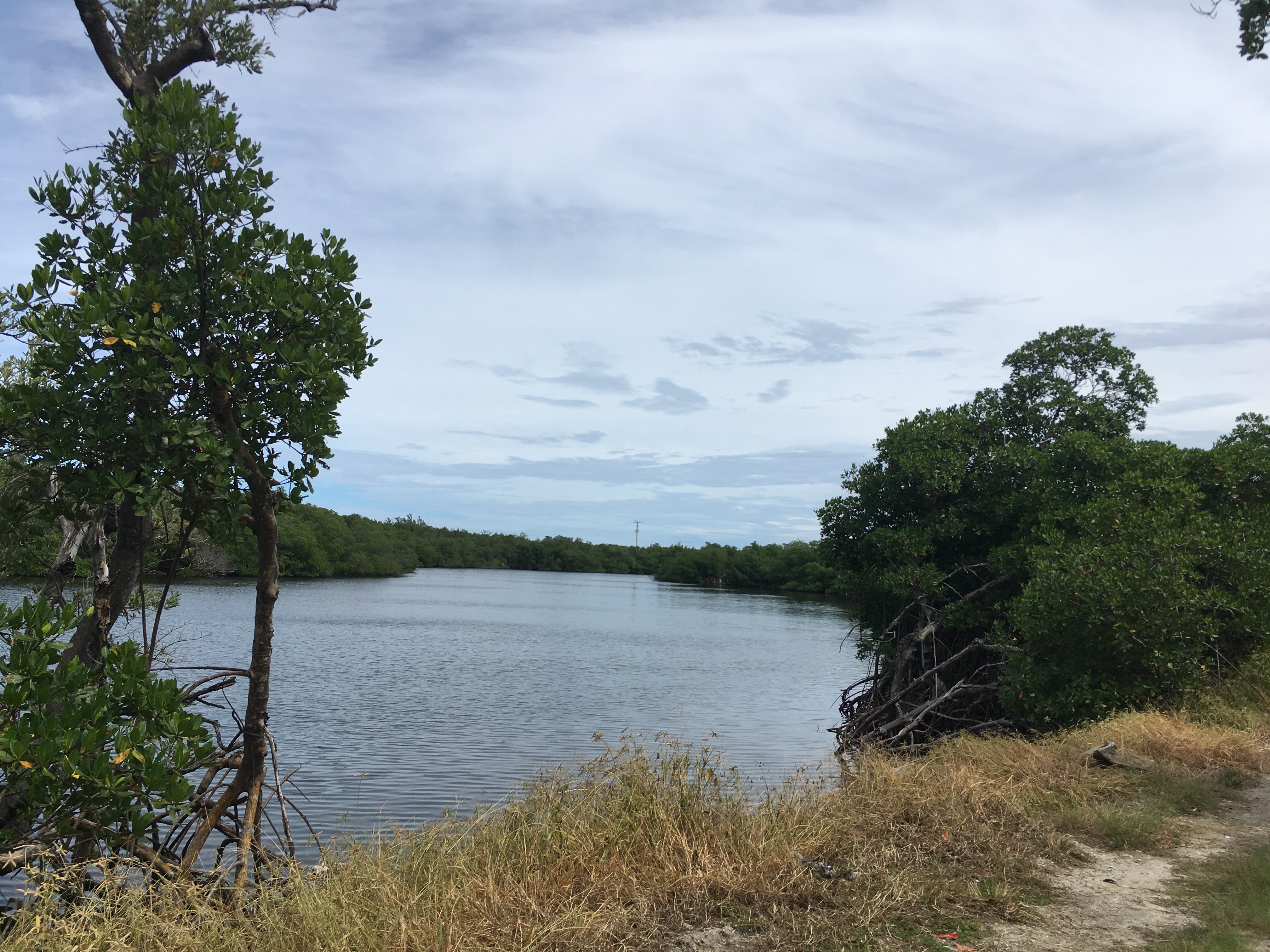
A view of Blind Creek
Mangrove Ride
Distance: 19.5 miles round trip along mangrove trails on west side of A1A beginning at Bear Point and then seven miles back on east side of A1A.
Surface: Mostly hard-packed sand on the trails. Asphalt when you ride between them on A1A.
Amenities and facilities: Occasional picnic tables. All bathrooms are at parks on east side of A1A.
What you’ll see: A closeup look at the mangroves on the east side of the Indian River Lagoon, the most diverse estuary in North America. You’ll see an assortment of wading birds and other wildlife.
It takes you along the mangroves along the Indian River Lagoon. Just a few moments on the trail and you’ll discover why it’s the most diverse estuary in North America. You’ll see osprey, heron, egrets, ibis, roseate spoonbills and many more birds.
The ride mostly parallels the lagoon but also takes you on winding trails through the mangroves. Because the trail is remote, it is recommended that you travel with another rider. Forgo your road bike for your trail bike because the trails are mostly hard-packed sand. Unless it has rained heavily the day before your ride, you should be all right along the trails, which are only moderately challenging.
The ride is unmarked and consists of going through a series of six gate entrances. Except for access allowed to a few fishermen, the gates are closed to motor vehicles but pedestrians and cyclists can get through the openings on the side of the gates.
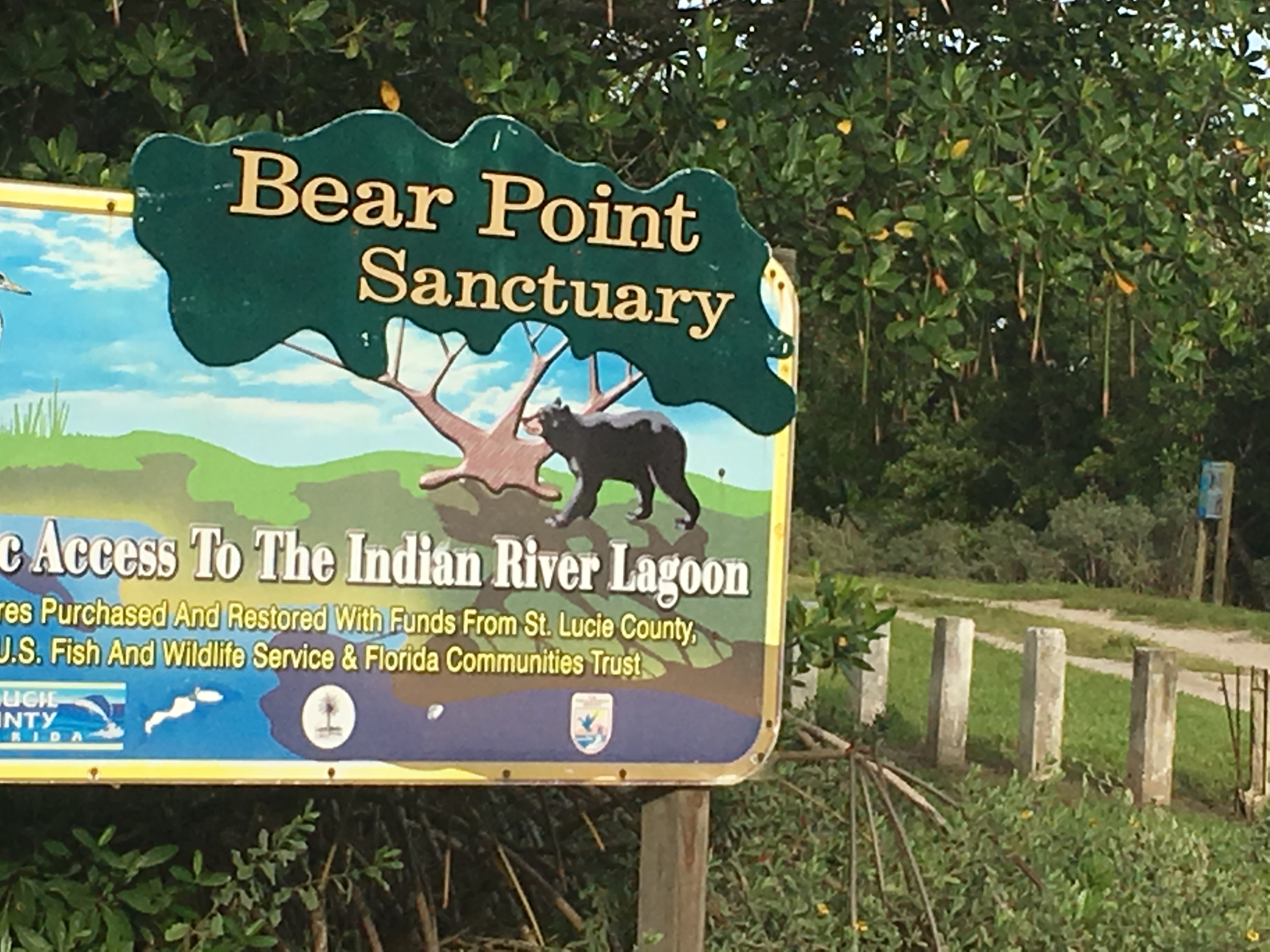
The mangroves and the ride start at Bear Point Sanctuary, three miles south of Jetty Park on A1A. The sanctuary is reportedly the last known place where black bear — now extinct to the area — were hunted on Hutchinson Island by native Americans. You’ll find plenty of parking at the sanctuary.
Here are the directions for the ride:
First Trail
After parking your vehicle Park at Bear Point Sanctuary parking lot, go through gate at Bear Point and start on your fist trail, which is just a half mile to the end and a half mile back.
Second Trail
From Bear Point, ride just two-tenths of a mile south to the gate at John Brooks Park. This will take you on a one mile trail.
Third Trail
At the end of John Brooks trail, travel just 1/10 of a mile to the gate at Vitolo Family Park. This will take you on a 1.9 mile ride.
Fourth Trail
Then travel 7/10s of a mile south on the bike lane on A1A and you will reach Blind Creek at Riverside North. This will take you on a 1.5 mile trail.
Fifth Trail
Once outside the gate, travel south 4/10s of a mile over the bridge and take a right and turn back toward the creek and you will see the gate for Blind Creek at Riverside South. This will take you on the longest trail, which is 2 and 7/10s miles.
Sixth Trail
Once outside this trail, get back on the bike lane south on A1A and ride south beyond the St. Lucie 1 and II nuclear power plants. Ignore all the gates you see along the way because they go into private property owned by Florida Power & Light. At the two mile mark from Blind Creek Riverside South, you will see the gate for the last trail, Ocean Bay Riverside. This trail will take you just one mile and ends without coming out to another gate so just turn around when you reach the end.
Back to Bear Point
Once you complete this trail you have gone through them all. Then you can either go back through the same trails or you can cross A1A to the east side and ride the bike lane seven miles back to the Bear Point parking lot.
